Aerial Survey
Aerial Survey for Engineering
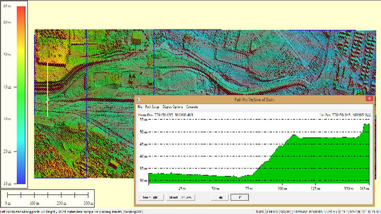
- Terrain Analysis
- Contour Mapping (interchangeable intervals)
- Length, width, and area calculations
- Project Progress Tracking
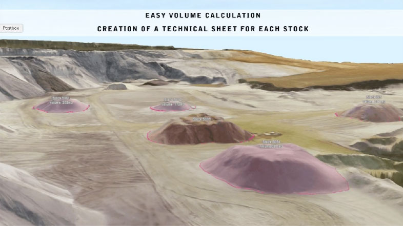
- Volumetric Calculations
- Cadastral maps
- Landscape planning
- 3D Master Plan Creations


Previous
Next